Every ride you've done, in one picture.
Pedaltales puts every tour you add on one map. Frame it the way you like and save the whole atlas as a single image — story, square, or portrait.
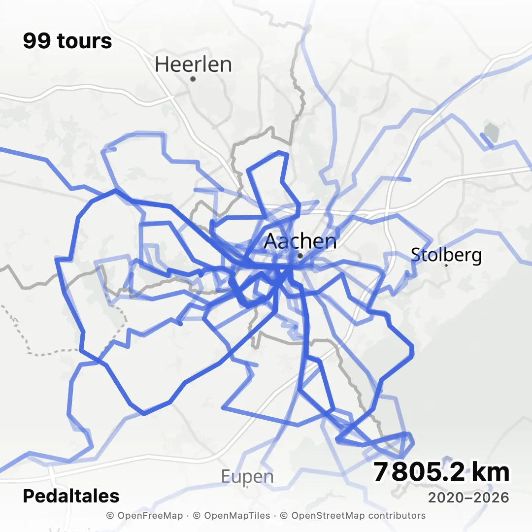
How it works
Add your tours
Drop in a GPX file for each tour — from Strava, Komoot, Garmin, or any GPS device. The export guides show where the button is; each export takes under a minute.Frame the map
Open “Share atlas as image”. The picture starts from the map view you're on — drag and zoom until it shows what you want.Pick a format and save
Story 9:16 (1080 × 1920), square 1:1 (1080 × 1080), or portrait 4:5 (1080 × 1350). Choose activity or highlight colours, turn the tour count, dates, and distance on or off, and download the PNG — or send it straight to your phone's share sheet.
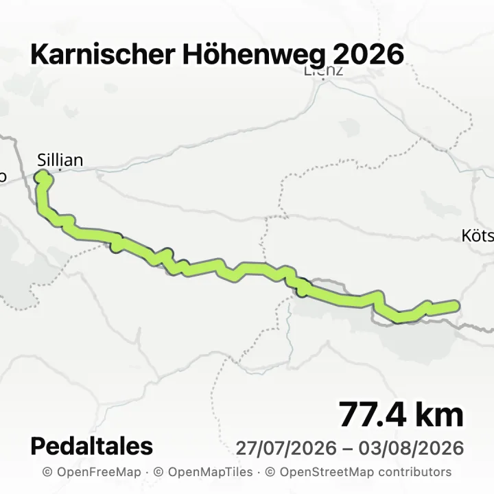
You choose the frame
The picture is exactly what the preview shows. Zoom in on one valley or out to a whole region, and leave out whatever you'd rather keep to yourself.Every activity, its own colour
Rides, hikes, and runs keep the colours they have on your map, and the roads you take most build up darker, the way they do in the app.Sized for your phone
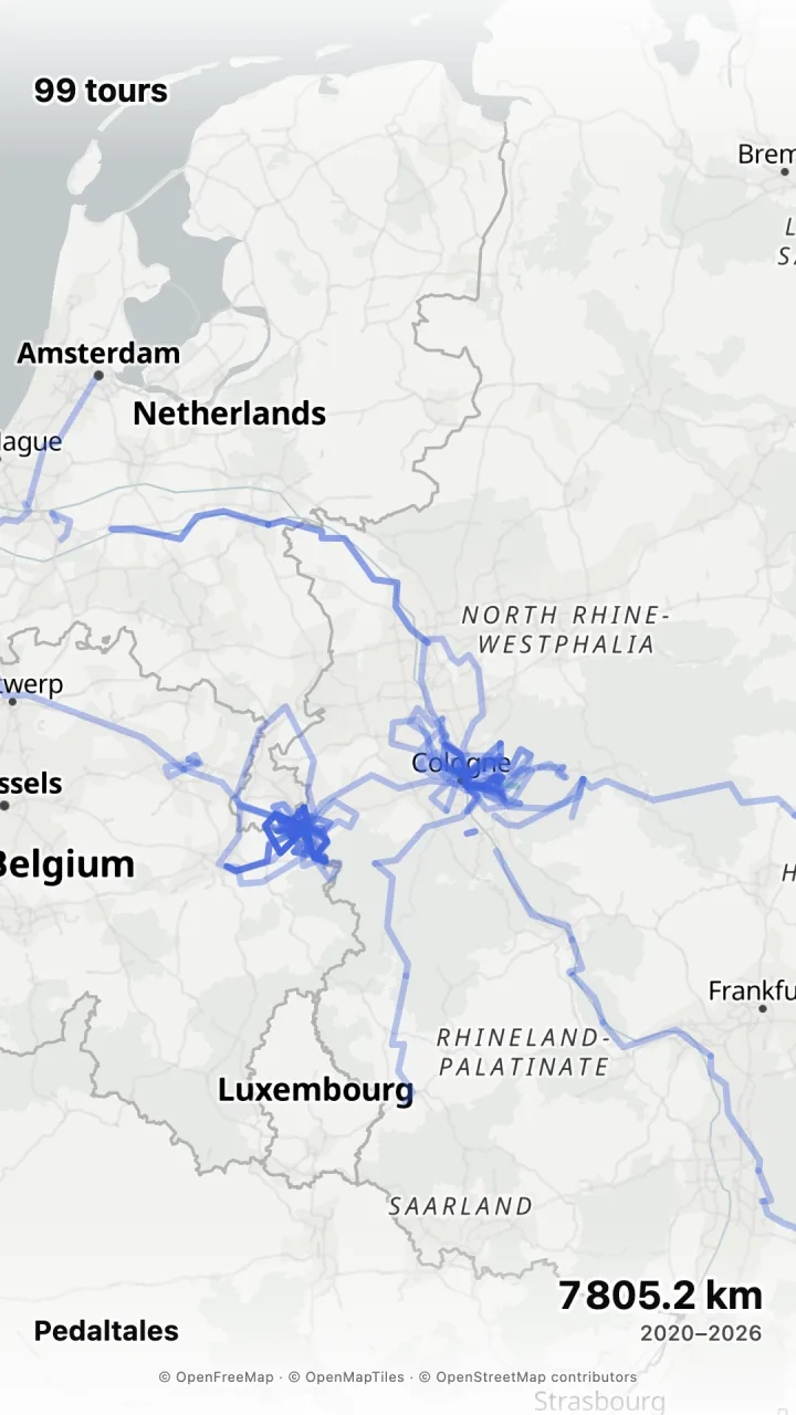
Story, square, and portrait fit a feed, a chat, or a trip report. On most phones the picture goes straight to the share sheet, no download needed.Zoom out, and every trip comes along.
The same atlas at region scale: two home towns and the long trips between them, to the coast and down the Rhine. One tap on Story and it's the size of a phone screen.
Your tours are already out there. Put them on one map.
Free, no ads, no selling of your data. Works best on a computer, where your GPX files are — see the export guides for Strava, Komoot, and Garmin.
Do I need an account?
An email sign-in, not a setup: enter your address and click the link we send. No password, no credit card, and no Strava account to connect.
Which files work?
GPX files, one per tour — exported from Strava, Komoot, Garmin Connect, a bike computer, or a watch. Recorded tracks and planned routes both draw fine.
Does the picture include friends' tours?
Only if you make it from the Friends view. The picture draws the tours your map is showing at the time, and your own tours by default.
Can I make a picture of a single tour?
Yes. Every tour has its own “Share as image” with its name, dates, and distance, in the same three formats.
Can it animate the route or print a poster?
No. Pedaltales makes still images for screens; there is no route animation and no print service.
Where does the map come from?
The basemap is OpenStreetMap data, served by OpenFreeMap with OpenMapTiles. The attribution is printed along the bottom of every picture.
What does it cost?
Nothing. Pedaltales is free to use, with no ads and no selling of your data.